
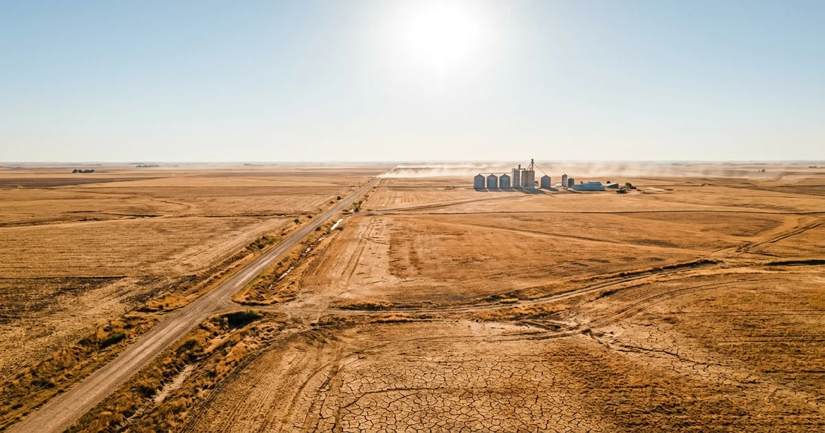
A massive ridge of high pressure locked over the central United States on Friday and is not going anywhere until at least midweek.
Roughly 80 million Americans woke up Saturday under heat advisories, excessive heat warnings, or both, with temperatures forecast to exceed 100 degrees Fahrenheit from Dallas to Bismarck and heat indices pushing well past 110 in parts of Kansas, Oklahoma, and Missouri.
This is the third major heat dome to settle over the continental U.S. since late June, part of a pattern that has already shattered temperature records in Montana, Wyoming, and Utah this summer. The difference this time is the scope: the dome is wide enough to stretch from the Texas Panhandle to the Dakotas, and the overnight lows are not dropping far enough to give anyone meaningful relief.
Why the Overnight Temperatures Matter Most
The headline numbers get the attention, but the real danger sits in the overnight lows. When temperatures refuse to fall below the mid-80s after sunset, the human body cannot recover from the daytime heat stress. That cumulative load is what sends people to emergency rooms on day three or four of an event like this, not the peak temperature on day one.
NBC News reported Friday that the heat dome is forecast to hold through at least Tuesday, meaning some areas will experience five or six consecutive days where overnight temperatures never drop below dangerous thresholds. The National Weather Service has extended excessive heat warnings across a band from central Texas through Missouri and into the upper Midwest, a geographic spread that covers some of the most vulnerable rural and small-city populations in the country.
The Pattern Is Not New, but the Scale Is
This summer’s heat has arrived in waves rather than as one sustained blast, and each wave has covered more ground than the last. The first dome, which peaked over the Fourth of July weekend, hit the eastern half of the country and drove Atlantic City, New Jersey to 106 degrees on July 4. A second event baked the western U.S. through mid-July, breaking all-time records in Montana and Wyoming. Now the central states are taking their turn.
The mechanism is straightforward. A blocking high-pressure ridge parks itself over a region and acts like a lid, trapping hot air at the surface and preventing the normal convective mixing that would bring cooler air from higher altitudes. The atmosphere literally sits on the heat and holds it there. Climate scientists have documented a clear trend toward more frequent and more persistent blocking patterns in the Northern Hemisphere over the past two decades, a shift that makes heat domes both more common and harder to break once they form.
Who Is Most at Risk
The populations in the bullseye this weekend are not the ones with the most air conditioning. The central corridor includes large stretches of rural America where housing stock is older, window units are the primary cooling, and the nearest cooling center might be a 30-minute drive. Agricultural workers, outdoor construction crews, and anyone without reliable access to air conditioning face compounding risk with every day the dome holds.
Children and the elderly are especially vulnerable. Heat stroke does not announce itself with a dramatic collapse; it builds through hours of elevated core temperature, and in older adults it can present as confusion or lethargy that gets mistaken for other conditions. The CDC’s heat safety guidance has not changed, but the context around it has: the advice to “check on elderly neighbors” assumes those neighbors have somewhere cool to go, and increasingly that assumption does not hold.
The Climate Context Nobody Wants to Discuss
Three major heat domes in five weeks is not normal summer weather. It is the kind of pattern climate models have been projecting for decades, and it is arriving on schedule. The 2026 North American heat wave has already triggered heat-related fatalities across multiple states, strained power grids from coast to coast, and forced transit systems in several major cities to implement heat protocols that slow service precisely when demand peaks.
The policy response has been almost entirely reactive: open cooling centers, issue warnings, hope the ridge moves. What the pattern demands is a structural conversation about heat as infrastructure, about building codes and grid capacity and worker protections that treat 100-degree weeks as a recurring condition rather than an emergency. That conversation is not happening at the federal level, and the people sitting in 85-degree apartments at midnight this weekend are the ones paying for the delay.
The ridge will break eventually. The forecast models suggest cooler air arrives by Wednesday or Thursday. But “wait for the weather to change” is not a public health strategy, and with each successive dome arriving larger and more persistent than the last, the summers ahead are not going to be shorter. They have already changed. The question is whether the systems designed to protect people from them are going to change, too, or whether the broader climate pattern emerging across the Atlantic and the Northern Hemisphere will keep outrunning the response.