
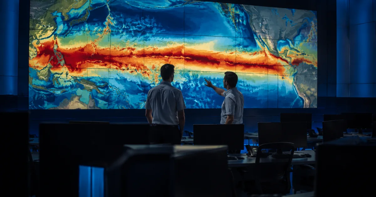
The Pacific Ocean is doing something in 2026 that federal forecasters have not been able to describe with a historical comparison, because the historical comparisons stop short.
NOAA’s August advisory puts better than nine-in-ten odds on a very strong El Niño this winter, and a 69 percent chance the event ends up larger than every El Niño in the record.
What the August Advisory Actually Says
The Climate Prediction Center issued its diagnostic discussion on August 13 under an El Niño Advisory. Sea surface temperatures are running above average across the central and eastern equatorial Pacific, the atmosphere is behaving the way it does when El Niño has genuinely taken hold rather than merely showing up in the water, and the July Niño-3.4 index sat at plus 1.4 degrees Celsius.
That last number is the one people misread. Plus 1.4 is a moderate El Niño. The forecast is not describing where the ocean is now, it is describing where the models say it is going: greater than a 90 percent chance of a very strong event through fall and winter 2026-27, and for the October through December window, a 69 percent chance the relative oceanic Niño index reaches at least plus 2.5 degrees. Nothing in NOAA’s record, which runs back to 1950, has done that.
Britain’s Met Office went further, telling forecasters this week that the developing event looks like the strongest in living memory, potentially around 3 degrees above normal and plausibly the largest since the 19th century. Scientific American reached a similar conclusion, and ABC News framed it as a potentially historic event with global reach. When the American, British and academic reads converge this early, the honest description is not “possible.” It is “likely, with the size still in play.”
Why a Warm Pacific Rewrites an American Winter
The mechanism is unglamorous and worth understanding, because it is what makes a four-month forecast defensible at all.
A large pool of unusually warm water in the tropical Pacific dumps heat into the atmosphere above it. That heat shifts the subtropical jet stream south and strengthens it. The jet stream is the conveyor belt that steers storms, so when it moves, the storm track moves, and an entire continent’s winter reorganizes around the new position. Storms that would have come ashore in Oregon come ashore in Southern California instead. Moisture that would have reached the Ohio Valley never gets there.
That is why El Niño forecasts have unusual lead time. Most weather is chaotic past ten days. This is not weather, it is the boundary condition weather runs on top of.
Where It Lands
The regional signal in a strong El Niño winter is one of the more reliable patterns in seasonal forecasting, and CNN’s read of the current guidance tracks the textbook version closely:
- The southern tier and coastal California get the active storm track. Wetter, cooler, more frequent systems, with the rainfall signal ramping up late and peaking January through March 2027 rather than this autumn.
- The northern tier, from the Pacific Northwest across the Midwest, runs warm. Above-average temperatures are favored across more than half of the Lower 48.
- The Northern Rockies and the Ohio and Tennessee valleys dry out, because the storm track that used to pass overhead is now several hundred miles south.
- Hawaii typically flips toward a drier winter after a wet developing year, which raises drought and wildfire risk on islands that have already had a rough season.
One caveat cuts against the snow-lover’s read of all this. Strong El Niño winters are warm winters. An active southern storm track over a warmer continent delivers a lot of precipitation, but at lower elevations more of it falls as rain. Big mountain snowpack in the Sierra and the Southwest, disappointing valley totals, and flood risk where the rain lands on ground that cannot take it.
The Forecast Is the Easy Part
Here is the thing nobody puts in the winter-outlook graphics. Seasonal forecast skill has never been better. The institution that turns those forecasts into a warning somebody acts on has been running thin for a year and a half.
The National Weather Service lost roughly 600 employees during 2025 through buyouts, early retirements and probationary firings. At the low point, 52 of its 122 weather forecast offices carried vacancy rates above 20 percent, and dozens of meteorologist-in-charge positions sat empty. NOAA responded by opening a reassignment period, asking 76 meteorologists and 155 staffers in total to consider relocating into the worst-hit offices, and it has hired since. CBS News documented what the gap looked like operationally going into last hurricane season: less experienced staff and missing data, including forecast offices scaling back the twice-daily weather balloon launches that feed the models everyone downstream depends on.
A seasonal outlook is a national product. A flash flood warning at two in the morning for one county in the Central Valley is not. It comes out of a specific building, staffed by specific people, who have to be awake and know the terrain.
The Gap Between Knowing and Doing
There is a version of the coming winter where the forecast works exactly as designed and it still does not matter much, because the machinery on the other end of it is not sized for what arrives.
El Niño’s signature hazards are at least legible to the federal response system. Flooding and severe winter storms qualify for the disaster declarations that unlock federal money, which is more than can be said for the extreme heat that put 60 million Americans under alerts this month without ever becoming a declarable disaster. The binding constraint this winter is not legal category. It is lead time, staffing and whether local emergency managers are being handed a January flood outlook in September, when they can still do something with it.
NOAA has given the country an unusual gift: four months of warning about a winter that has a decent chance of being the strongest El Niño anyone alive has worked through. The forecast has done its job. Everything that happens next depends on institutions that are cheaper to cut than to rebuild.