
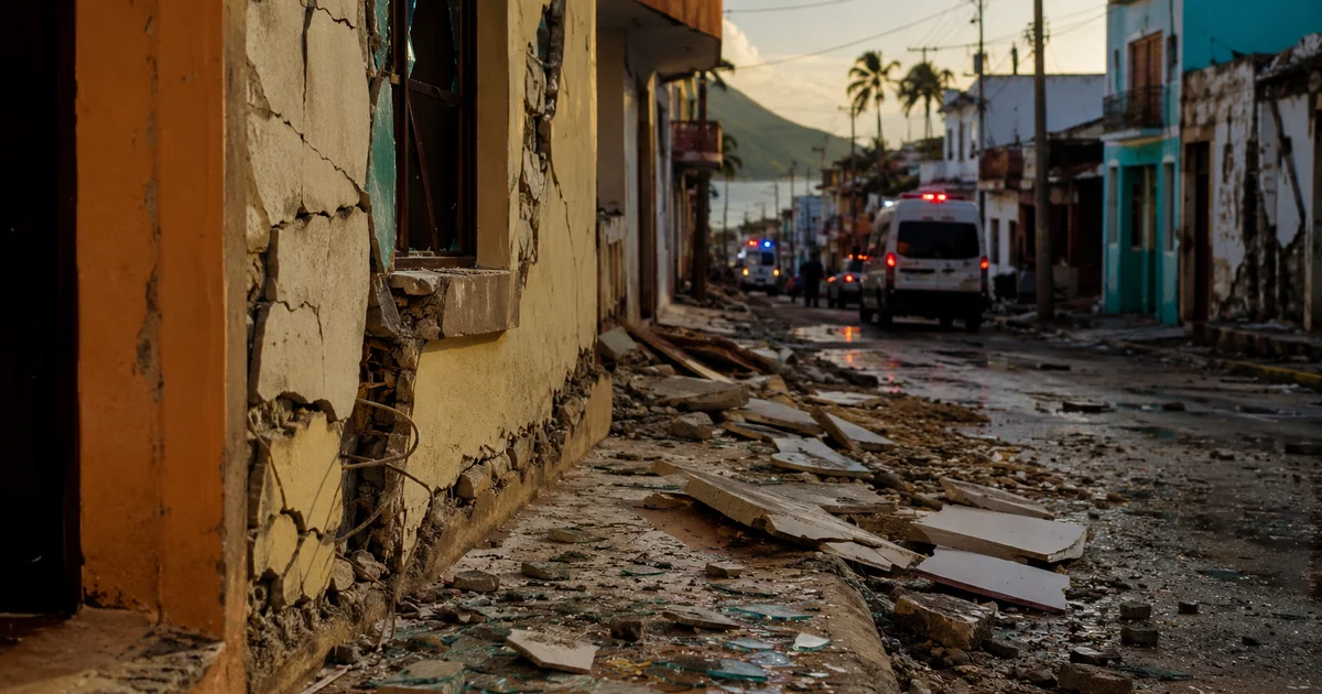
A powerful 7.3-magnitude earthquake rattled Mexico’s southern Pacific coast on Friday morning, sending buildings swaying across three countries and prompting a tsunami warning that kept coastal communities on edge for hours.
The quake, centered off the coast of Chiapas state near the Guatemala border, was the strongest to hit the region in 2026 and a stark reminder that Latin America’s seismic corridor never really sleeps.
What We Know About the Quake
The U.S. Geological Survey pinpointed the epicenter roughly 48 kilometers southwest of the town of Aquiles Serdan, near the port of Puerto Madero, at a relatively shallow depth of 15.2 kilometers. Shallow earthquakes tend to produce more intense shaking across a wider area, which is exactly what happened here. USGS estimates that six million people across Mexico, Guatemala, and El Salvador experienced moderate to strong shaking when the tremor hit at 9:48 a.m. local time.
Two foreshocks had quietly preceded the main event, including a magnitude 4.7 tremor just 88 minutes earlier. What followed was far more dramatic: at least 10 aftershocks ranging from magnitude 4.9 to 6.0 rattled the region throughout the day, keeping already-shaken residents on high alert.
Tsunami Warning and the Anxious Hours That Followed
The Pacific Tsunami Warning Center moved quickly, issuing a hazardous tsunami advisory for coastlines within 300 kilometers of the epicenter. Waves up to one meter above normal tide levels were considered possible along the coasts of both Mexico and Guatemala. For communities that live with the Pacific’s seismic reality, that kind of alert triggers an immediate mental calculus: head for higher ground or stay put?
The warning was eventually lifted after monitoring confirmed that the threat had passed. But for the coastal towns along Chiapas and Guatemala’s Pacific shore, those hours between the initial alert and the all-clear felt considerably longer than the clocks suggested.
Damage: Scary but Largely Survivable
The good news, and it is genuinely good news for a quake this size, is that Mexico’s infrastructure mostly held up. Two people were injured, one who jumped from the third floor of a building in a panic, and another struck by a falling door at a car dealership. Chiapas Civil Protection teams responded to gas leaks, collapsed walls, cracked facades, and detached ceiling panels, but the damage pattern was structural cosmetics rather than catastrophic collapse.
Mexico’s Secretary of the Navy issued an unusually blunt assessment, stating simply that there were “no issues” in the country following the quake. That language might sound casual for a 7.3 event, but it reflects a reality about Mexico’s relationship with earthquakes: the country has invested heavily in seismic building codes and early warning systems since the devastating 1985 Mexico City earthquake that killed thousands. Those investments, boring as they are politically, tend to pay off precisely in moments like these.
It is a pattern that should sound familiar to anyone who followed the flash flood emergency in Texas Hill Country earlier this month. Natural disasters keep testing infrastructure across the Americas, and the difference between tragedy and near-miss increasingly comes down to preparation.
The Bigger Seismic Picture
Chiapas sits along one of the most seismically active zones on the planet, where the Cocos tectonic plate grinds beneath the North American plate. This subduction zone has produced major earthquakes for centuries, including a devastating 8.2-magnitude quake in September 2017 that killed nearly 100 people. Friday’s event, while powerful, registered well below that threshold of destruction.
Still, seismologists will be watching the aftershock sequence closely. A magnitude 6.0 aftershock is nothing to dismiss, and the region’s geology means that larger events are always possible in the weeks following a significant tremor. The USGS ShakeMap for the event shows the intensity footprint stretching well into Guatemala, underscoring that political borders mean nothing to tectonic plates.
What Comes Next
For now, the immediate crisis has passed. The tsunami threat is gone, the aftershocks are tapering, and Mexico’s emergency services have the situation well in hand. But if there is a takeaway from a 7.3 that injures two people instead of killing hundreds, it is that earthquake preparedness works. Building codes work. Early warning systems work. The boring, expensive, politically unrewarding work of making structures survive shaking works.
The next major Pacific Rim earthquake will not send a courtesy notice. But if Mexico’s response to this one is any indication, the infrastructure to survive it is quietly, steadily getting better.