
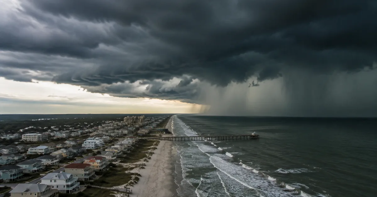
Tropical Storm Bertha is crawling across the northeastern Gulf of Mexico, aiming at a stretch of coastline from the Florida Panhandle to Louisiana with days of heavy rainfall, coastal flooding, and gusty winds that could start arriving Monday night.
It is the second named storm to threaten the Gulf Coast this season, and communities still cleaning up from Tropical Storm Arthur last month are bracing for another round.
Where Bertha Is and Where It Is Heading
Bertha formed from a tropical depression off the west coast of Florida on Saturday and strengthened into a tropical storm on Monday. The National Hurricane Center has issued tropical storm warnings for coastal Alabama, Mississippi, and eastern Louisiana, with conditions expected within 36 hours. A tropical storm watch covers the Florida Panhandle.
The storm is moving slowly westward, roughly parallel to the Gulf Coast, which is the worst-case geometry for rainfall. A fast-moving storm dumps its water and moves on. A slow one wrings out moisture over the same communities for days. CNN reported that Bertha is forecast to weaken back to a tropical depression by Thursday as it approaches the Texas coast, but the damage will come from water, not wind.
The Rain and Surge Threat
The National Weather Service is forecasting 2 to 4 inches of rainfall across the northern Gulf Coast through Friday, with isolated totals reaching 8 inches. Storm surge of up to 4 feet is possible along the coasts of Louisiana, Mississippi, and Alabama, enough to push seawater into low-lying neighborhoods and onto coastal roads.
For New Orleans, which sits below sea level and relies on a pumping system that has struggled with heavy rain events in recent years, even a moderate rainfall total can overwhelm drainage capacity. Coastal Mississippi communities including Biloxi and Gulfport have already activated emergency operations centers.
Why a Weak Storm Still Causes Real Damage
Bertha is not going to become a hurricane. Its wind speeds are modest, and it is expected to dissipate by the end of the week. But the Gulf Coast’s vulnerability to flooding has less to do with wind category than with geography and infrastructure.
The region sits barely above sea level in most places, with saturated ground from a wet July and aging drainage systems in cities that have not kept pace with intensifying rainfall patterns. ABC News reported that the combination of storm surge and inland flooding creates a compound threat where water pushes in from the coast while rain backs up drainage systems from above.
This is the pattern climate scientists have warned about: individually manageable weather events becoming more damaging because warmer Gulf waters produce more moisture, while sea level rise amplifies the surge baseline. Bertha is a Category Nothing storm doing Category Expensive damage.
What Residents Should Watch For
The heaviest impacts are expected Monday night through Wednesday. Residents in warned areas should prepare for power outages from gusty winds, avoid driving through flooded roads (the leading cause of storm-related deaths), and monitor the NHC’s advisory updates at nhc.noaa.gov.
For travelers with plans on the Gulf Coast this week, flight delays at airports in New Orleans, Mobile, and Pensacola are likely. Coastal highways including sections of I-10 in Louisiana and Mississippi have flooded during weaker storms than this one.
The broader forecast gives the Gulf Coast a break after Bertha dissipates, but the 2026 hurricane season still has four months to run. Two named storms hitting the same stretch of coast in consecutive months is an early signal that this could be a busy season for a region that never seems to get enough time between punches.